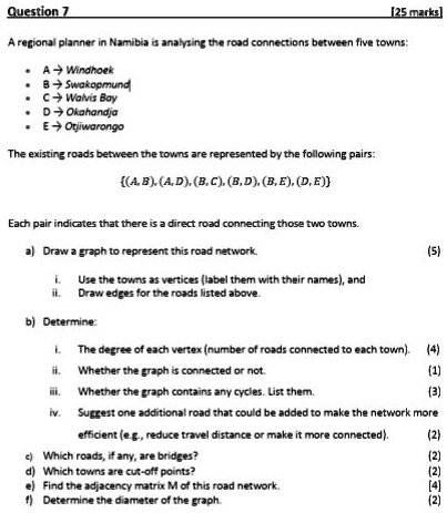
Question 7
[25 marks]
A regional planner in Namibia is analysing the road connections between five towns:
• A $\rightarrow$ Windhoek
• B $\rightarrow$ Swakopmund
• C $\rightarrow$ Walvis Bay
• D $\rightarrow$ Okahandja
• E $\rightarrow$ Otjiwarongo
The existing roads between the towns are represented by the following pairs:
$\{(A, B), (A, D), (B, C), (B, D), (B, E), (D, E)\}$
Each pair indicates that there is a direct road connecting those two towns.
a) Draw a graph to represent this road network.
i. Use the towns as vertices (label them with their names), and
ii. Draw edges for the roads listed above.
b) Determine:
i. The degree of each vertex (number of roads connected to each town).
ii. Whether the graph is connected or not.
iii. Whether the graph contains any cycles. List them.
iv. Suggest one additional road that could be added to make the network more
efficient (e.g., reduce travel distance or make it more connected).
c) Which roads, if any, are bridges?
d) Which towns are cut-off points?
e) Find the adjacency matrix M of this road network.
f) Determine the diameter of the graph.
(5)
(4)
(1)
(3)
(2)
(2)
(2)
(4)
(2)